Last updated:
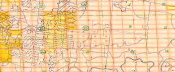
The records we hold about individual blocks of land mostly relate to their ownership over time. We hold many records, created since the arrival of European settlement until recently, about the lease, sale and re-acquisition of State-owned (or 'Crown') land. We also hold records about land transactions between private individuals and companies. You can view an overlay of both Parish Plans and thousands of maps from VPRS 8168 Historic Plan Collection on our Map Warper service here as well as help annotate them https://mapwarper.prov.vic.gov.au/
What do I need to know before I start?
You need to know the address and / or location of the property you are researching.
Many of our records identify land using the ‘Crown Description’ (or parish and allotment). You can use online maps and our records to find this information.
For a small proportion of records, you can search using the name of a person or organisation involved in the transaction.
View online or at the Reading Room?
Look for these icons to:

View online

Visit Us
Material in the Public Record Office Victoria archival collection contains words and descriptions that reflect attitudes and government policies at different times which may be insensitive and upsetting
Aboriginal and Torres Strait Islander Peoples should be aware the collection and website may contain images, voices and names of deceased persons.
PROV provides advice to researchers wishing to access, publish or re-use records about Aboriginal Peoples
